Aspy Trail – Cape Breton Highlands National Park
Cape Breton Island, Cape Breton Highlands National Park (Ingonish side)


Note: Infrastructure improvements in the park may cause delays or reduce services while we complete this important work. We appreciate your understanding at this time.
Hikers will marvel at the spectacular stands of hardwood trees, boulders bigger than cars, old abandoned beaver ponds, meadows, apple trees and even the remains of an old gold mine on the Clyburn Valley Trail. This trail follows the river for most of the way, but you can catch a glimpse of the Cape Breton Highlands Links, as it weaves its way up the valley. Feel humbled by the sheer rock face of Franey Mountain 425 m (1400 ft.) above. This level, easy trail is great for a fitness walk or relaxing stroll. Caution: Mountain bikes are permitted but there are rough sections starting about 2 km in. Not recommended for road bikes.
Trailhead: Just north of the Clyburn River bridge.
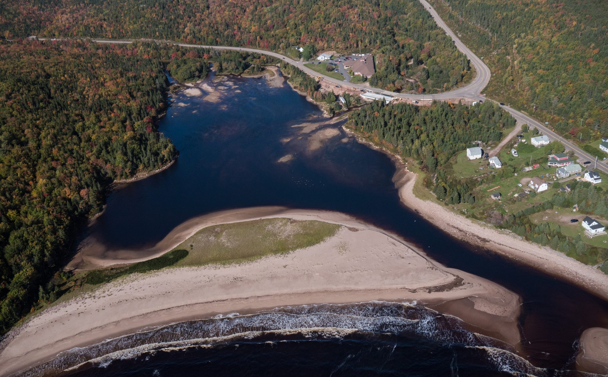
Significant Feature: Hardwood valley, river, remains of old gold mine
Length: 8.10 km (5 mi) return
Hiking Time: 2–3 hours
Elevation: 5–50 m (15–165 ft.). Relatively level trail. Rough sections where trail floods. Not maintained beyond the gold mine.
Trail Rating: Moderate
GPS Co-ordinates for Trailhead (in decimal degrees): Lat: 46.660688 Long: -60.410384
Park is open year-round but full visitor services are only available from mid-May until mid-October. A park pass is required for hiking or use of other services in the park; park entry fee applies. Check in at the Parks Canada visitor centres in Chéticamp (16 Visitor Centre Rd., situated on the west side of the park) or in Ingonish (37637 Cabot Trail, on the east side of the park) to obtain passes, information on visitor safety and any other information you may need, including a trail location map.
For your comfort and safety:
– Do not approach, disturb or feed wild animals.
– Take along appropriate clothing – rapid weather changes often occur on the plateau or along the coast.
– Carry water with you, especially for longer trails, climbs or open barrens.
– Bring insect repellent as black flies and mosquitoes are common all summer.
– Mountain bikes are permitted only where indicated, for public safety and protection of the environment.
– Stay on designated trails and boardwalks to protect fragile vegetation.
– Do not throw food or scraps along the trails or roads.
– Read « Keep it Wild, Keep it Safe » brochure, available at park visitor centres and on the Parks Canada website.
Recreational drone use is prohibited within the national park for the safety of wildlife and other visitors.

Price $80,200


Identifiez-nous sur vos photos de voyage pour qu’elles soient mises en vedette.
