Mary Ann Falls Trail – Cape Breton Highlands National Park
From May 15 to October 26
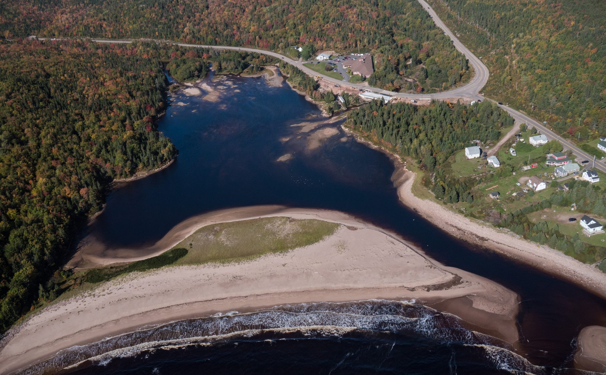
Cape Breton Island, Cape Breton Highlands National Park (Ingonish side)


This breathtaking trail winds through Acadian mixed forest and stunted taiga as it climbs to the windswept plateau. It offers 360° views spanning the barrens, the dramatic Aspy fault, coastal villages far below and mountains reaching the most northern tip of Cape Breton. Continue along a narrower footpath to Mica Hill’s remarkable displays of mica glittering amongst the quartz boulders. Explore a small side loop past Paquette Lake on your return.
Trailhead: Take the Paquette Lake road and park at the lake
Significant Feature: Highlands taiga, mica-quartz pegmatite
Length: 7.9 km (4.9 mi) return; 8.4 km (5.2 mi) with loop
Hiking Time: 3–4 hours
Elevation: 260–400 m (850–1345 ft.) Gradual climb.
Trail Rating: Moderate
GPS Co-ordinates for Trailhead (in decimal degrees): Lat: 46.834629 Long: -60.434124
Open from mid-May to mid-October. A park pass is required for hiking or use of other services in the park; park entry fee applies. Check in at the Parks Canada visitor centres in Chéticamp (16 Visitor Centre Rd., situated on the west side of the park) or in Ingonish (37637 Cabot Trail, on the east side of the park) to obtain passes, information on visitor safety and any other information you may need, including a trail location map.
For your comfort and safety:
– Do not approach, disturb or feed wild animals.
– Take along appropriate clothing – rapid weather changes often occur on the plateau or along the coast.
– Carry water with you, especially for longer trails, climbs or open barrens.
– Bring insect repellent as black flies and mosquitoes are common all summer.
– Mountain bikes are permitted only where indicated, for public safety and protection of the environment.
– Stay on designated trails and boardwalks to protect fragile vegetation.
– Do not throw food or scraps along the trails or roads.
– Read “Keep it Wild, Keep it Safe” brochure, available at park visitor centres and on the Parks Canada website.
Recreational drone use is prohibited within the national park for the safety of wildlife and other visitors.

Price $80 – $200

Looking for a bite to eat or something else to do during your visit? Check out these popular nearby activities and attractions!

From May 15 to October 26

From May 15 to October 25

From May 15 to October 25

From May 16 to October 26

From May 16 to October 26

From May 15 to October 25

From May 17 to October 27

From May 15 to October 25

From May 15 to October 25

From May 15 to October 25
From May 16 to October 26

From May 15 to October 25

Tag your travel photos to be featured.
