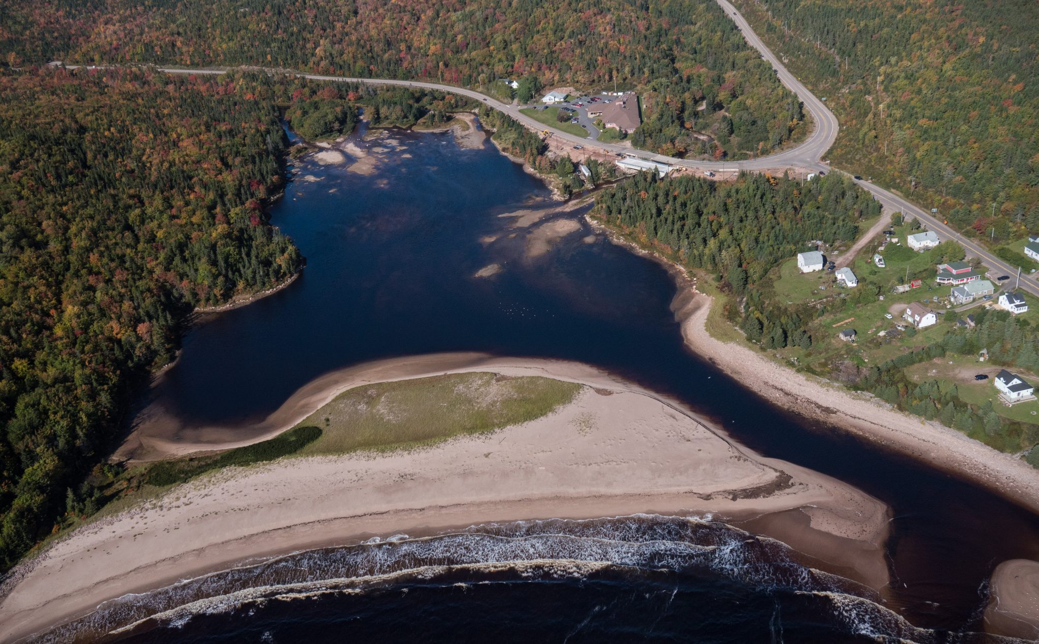
Freshwater Lake Trail – Cape Breton Highlands National Park
Cape Breton Island, Cape Breton Highlands National Park (Ingonish side)


Although this trail is very short, a mere “leg stretcher”, it is quite fascinating. From this rocky granite headland jutting out into the sea, you can watch the ocean crash against the rocks or catch a glimpse of whales offshore as fishermen tend to their lobster traps, daring to come so close to the rocks. Notice the twisted stunted trees – known as “krummholz” – and the leathery leaves of the bayberry. Plants here have adapted to this windy, salt-sprayed coastal environment.
Caution: Keep away from rock edges during high wind and waves and always use caution around dark rocks.
Trailhead: Parking lot on the Cabot Trail
Significant Feature: Atlantic coastline, geology
Length: 0.2-km (0.1-mi) loop
Hiking Time: 10 minutes
Elevation: 10 m (35 ft.)
Trail Rating: Easy
GPS Co-ordinates for Trailhead (in decimal degrees): Lat: 46.750779 Long: -60.324785
Park is open year-round but full visitor services are only available from mid-May until mid-October. A park pass is required all year for hiking or use of other services in the park. Check in at the Parks Canada Visitor Centres in Chéticamp (16 Visitor Centre Road, just off the Cabot Trail on the west side of the park) or in Ingonish (37637 Cabot Trail, on the east side of the park) to obtain passes, information on visitor safety and any other information you may need, including a trail location map.
For your comfort and safety:


Identifiez-nous sur vos photos de voyage pour qu’elles soient mises en vedette.
