Freshwater Lake Trail – Cape Breton Highlands National Park
From May 16 to October 26
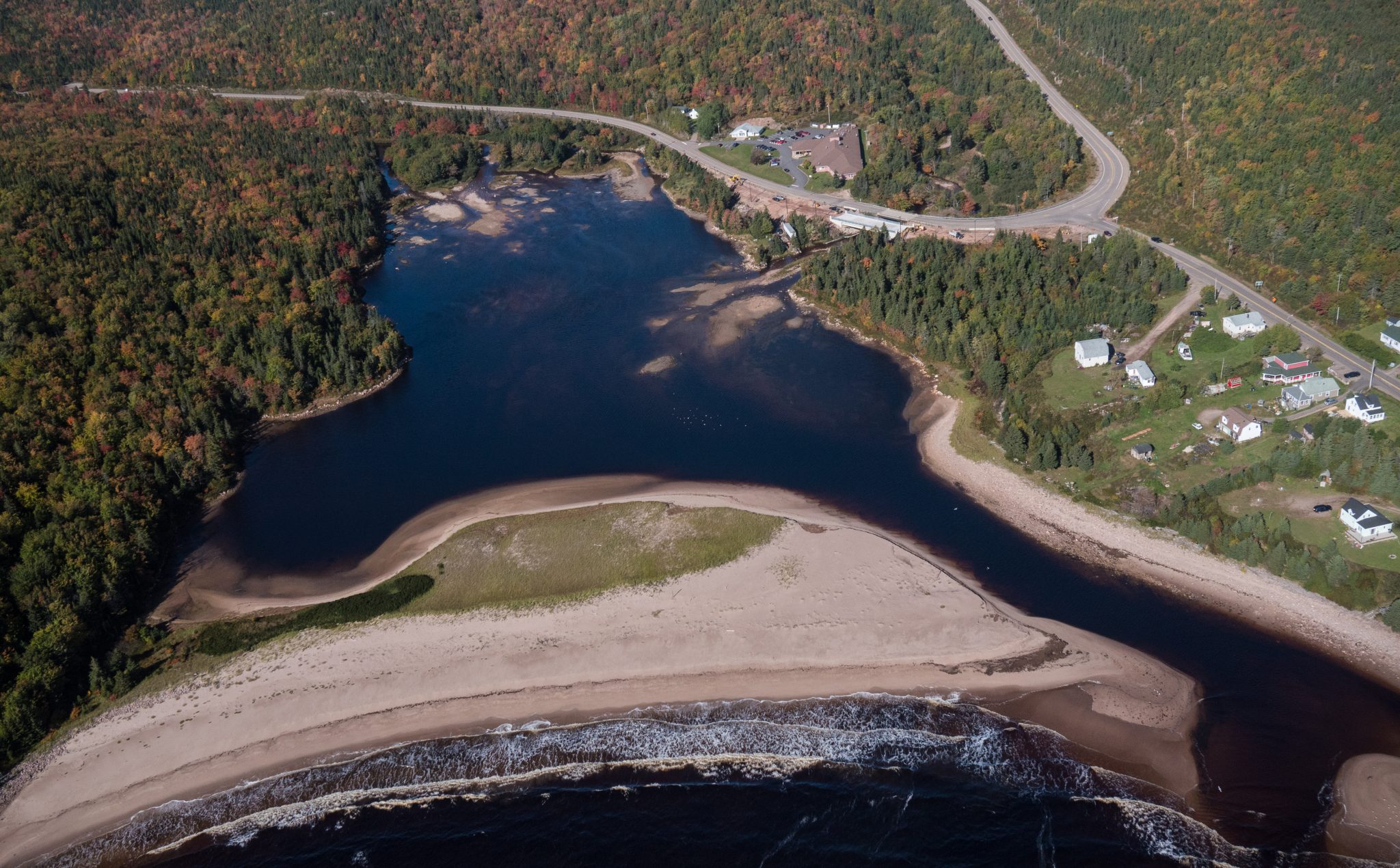
Cape Breton Island, Cape Breton Highlands National Park (Ingonish side)


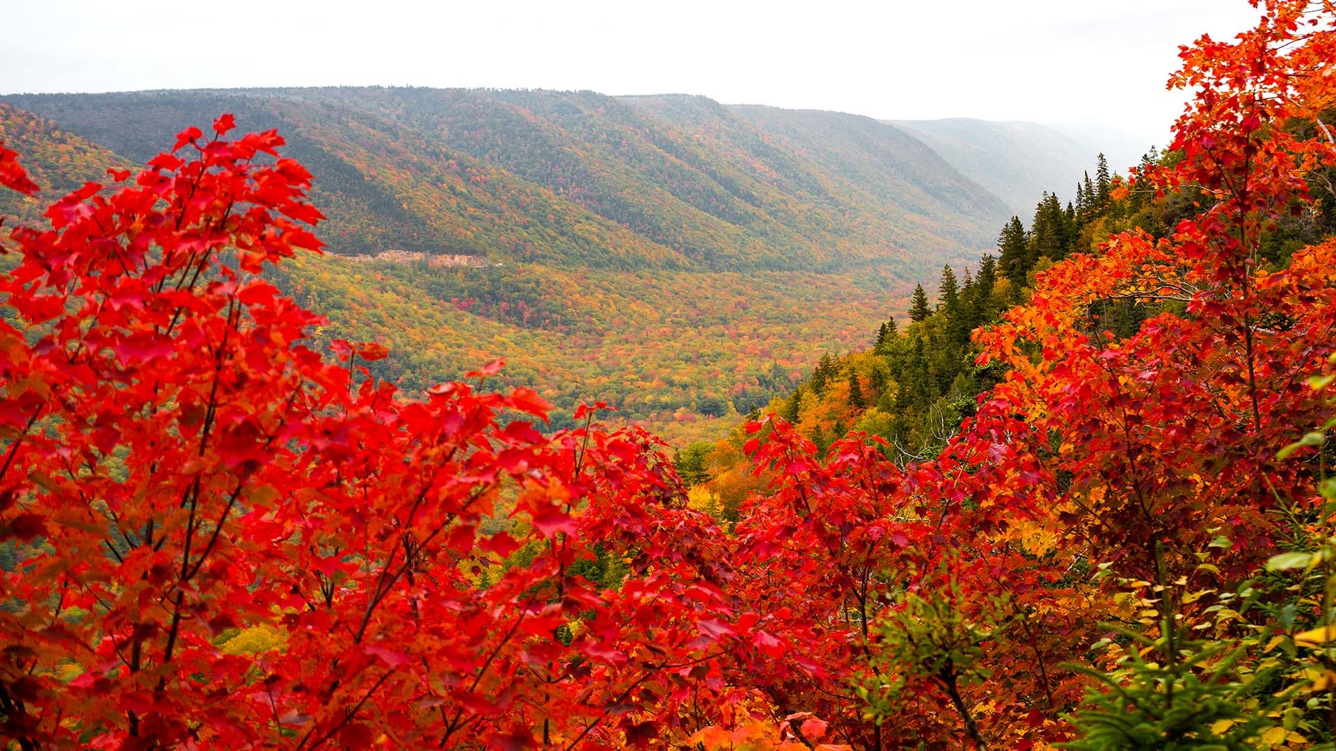
This trail meanders along the Aspy fault, through an Acadian and mixed forest. As nature reclaims land once used for farming and logging, a regenerated forest begins to blend in with the old growth. The magnificent red oak and the hoots of the barred owl or great horned owl will appeal to the true nature enthusiast. Waterproof hiking boots are recommended.
Trailhead: At the parking lot for Beulach Ban Falls
Significant Features: Acadian and mixed forest
Length: 9.6 km (6 mi) return
Hiking time: 3–4 hours
Elevation: 60–450 m (200–1,500 ft) – Short climbs. Rugged sections.
Trail Rating: Moderate/Difficult
GPS Co-ordinates for Trailhead (in decimal degrees):
Lat: 46.814041 Long: -60.626273
Park is open year-round but full visitor services are only available from mid-May until mid-October. A park pass is required for hiking or use of other services in the park; park entry fee applies. Check in at the Parks Canada visitor centres in Chéticamp (16 Visitor Centre Rd., situated on the west side of the park) or in Ingonish (37637 Cabot Trail, on the east side of the park) to obtain passes, information on visitor safety and any other information you may need, including a trail location map.
For your comfort and safety:
Recreational drone use is prohibited within the national park for the safety of wildlife and other visitors.
Time 10:00am - 2:00pm

Looking for a bite to eat or something else to do during your visit? Check out these popular nearby activities and attractions!

From May 16 to October 26

From May 16 to October 26

From May 15 to October 25

From May 17 to October 27

From May 15 to October 25

From May 15 to October 25

From May 15 to October 25
From May 16 to October 26

From May 15 to October 25

From May 15 to October 25

From May 15 to October 25

From May 15 to October 25

Tag your travel photos to be featured.
