Lone Shieling Trail – Cape Breton Highlands National Park
From May 15 to October 25
Cape Breton Island, Cape Breton Highlands National Park (Cheticamp side)


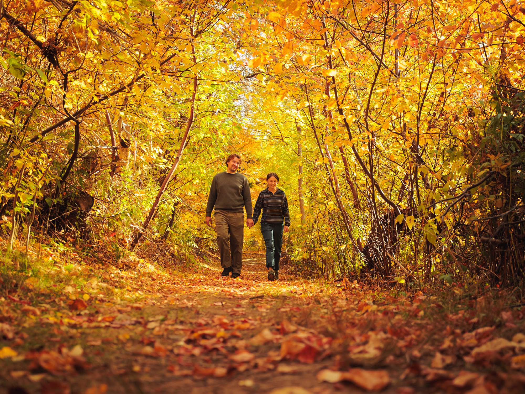
On the plateau at the top of French Mountain, this trail crosses wet barrens and evergreen forests typical of the highlands, ending at a small lake. Boardwalks in some sections keep you dry and protect the habitat from trampling. Moose are frequently seen as well as a variety of northern birds.
Trailhead: On the Cabot Trail at the top of French Mountain
Significant Feature: Boreal highland forest
Length: 3 km (1.9 mi) return.
Hiking Time: 1–1.5 hours
Elevation: 400 m (1315 ft.) – Level trail, suitable for most skill levels. Some muddy sections.
Trail Rating: Easy
GPS Co-ordinates for Trailhead (in decimal degrees):
Lat: 46.747348 Long: -60.821458
Open from mid-May to mid-October. A park pass is required for hiking or use of other services in the park; park entry fee applies. Check in at the Parks Canada visitor centres in Chéticamp (16 Visitor Centre Rd., situated on the west side of the park) or in Ingonish (37637 Cabot Trail, on the east side of the park) to obtain passes, information on visitor safety and any other information you may need, including a trail location map.
For your comfort and safety:
Recreational drone use is prohibited within the national park for the safety of wildlife and other visitors.
Looking for a bite to eat or something else to do during your visit? Check out these popular nearby activities and attractions!

From May 15 to October 25

From May 15 to October 25

From May 15 to October 25

From May 15 to October 25

From May 15 to October 25

From May 15 to October 25

From May 15 to October 25

From May 15 to October 23
From May 15 to October 25

From May 15 to October 25

From May 15 to October 25

Tag your travel photos to be featured.
