Lake Echo Farmers’ Market
From June 3 to October 7
Eastern Shore, Lake Echo


This scenic 6.8 km trail gracefully follows the path of the abandoned Blueberry Run railbed, stretching from the community of East Chezzetcook through Gaetz Brook all the way to Musquodoboit Harbour, Nova Scotia, Canada. The trail’s compacted surface makes it ideally suited for a variety of activities, including walking, running, or cycling, limited winter maintenance, ensuring a comfortable and enjoyable experience for everyone. Along your journey, you’ll encounter well-placed picnic shelters, inviting benches, accessible toilet facilities, and art sculptures crafted by a talented local artist. With its vistas, mature tree canopies, and an abundance of wildlife, this greenway is a haven for nature lovers. Be sure to bring your camera along to capture the beauty and moments of wonder this remarkable trail has to offer!
The Greenway is designed with accessibility in mind, featuring gentle slopes that never exceed 5 degrees. For your convenience, two fully accessible restrooms are available at the 2 km mark on the western end, and another can be found at the 6.5 km mark on the eastern end. Explore and enjoy all that the Greenway has to offer!
Note: The Gaetz Brook Greenway has four trailhead entry points.
Additional amenities:


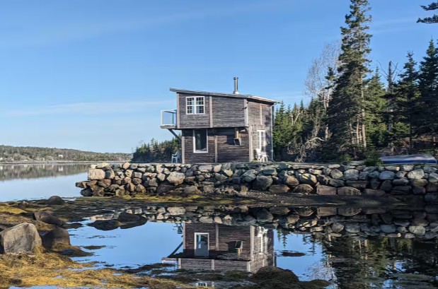
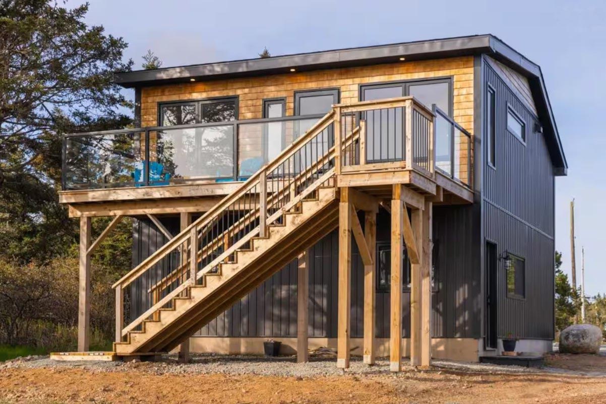
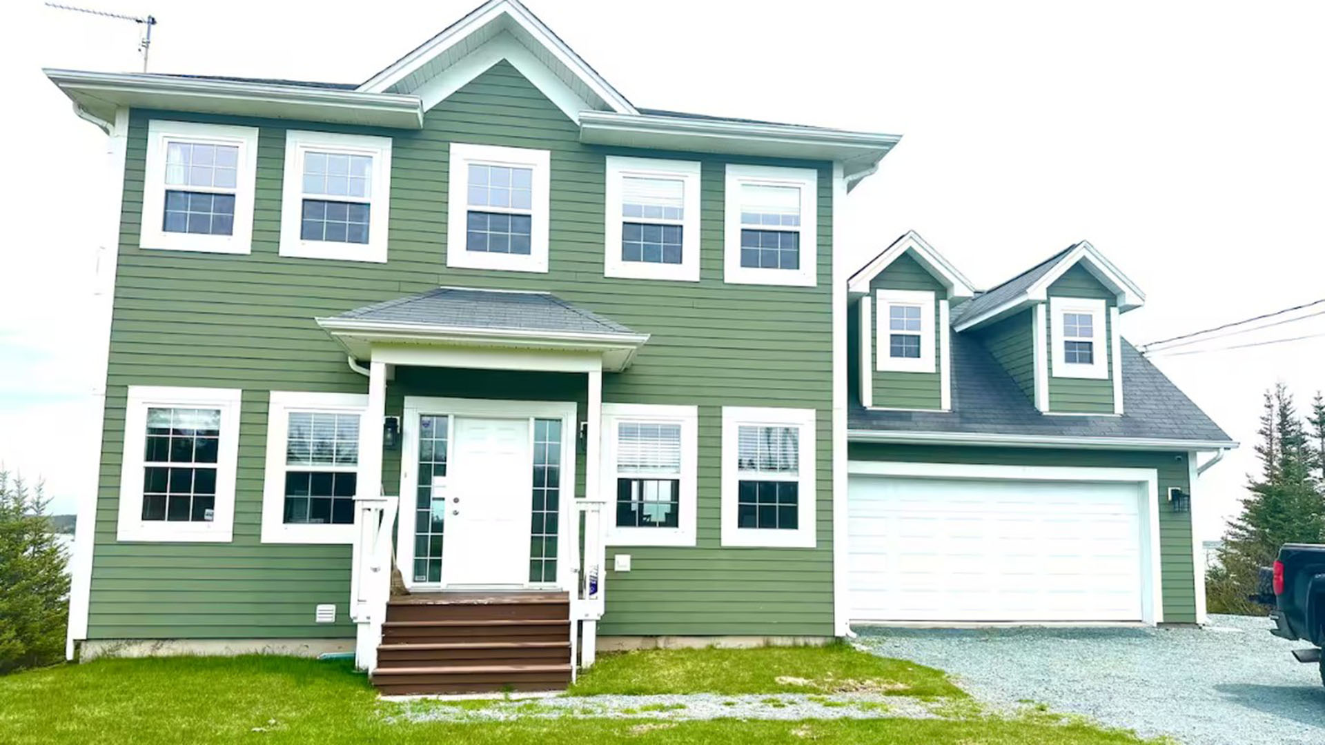
Looking for a bite to eat or something else to do during your visit? Check out these popular nearby activities and attractions!

From June 3 to October 7
Open year-round
Open year-round

From March 21 to December 20
Open year-round

Open year-round

From May 17 to October 14

From May 1 to October 15

From July 1 to August 31

Open year-round

Tag your travel photos to be featured.
