Cabotopia
From April 1 to November 15
Cape Breton Island, Chéticamp


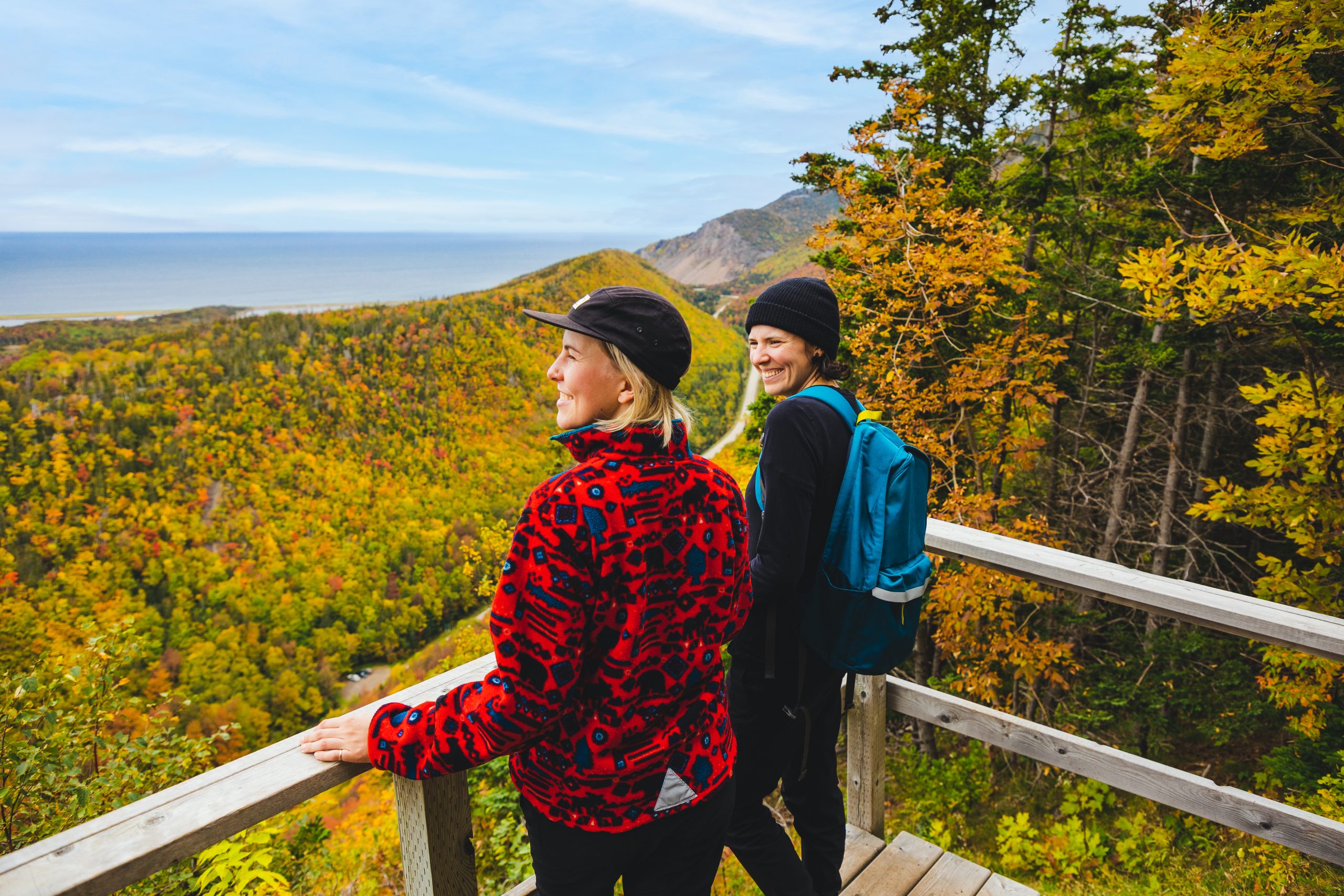
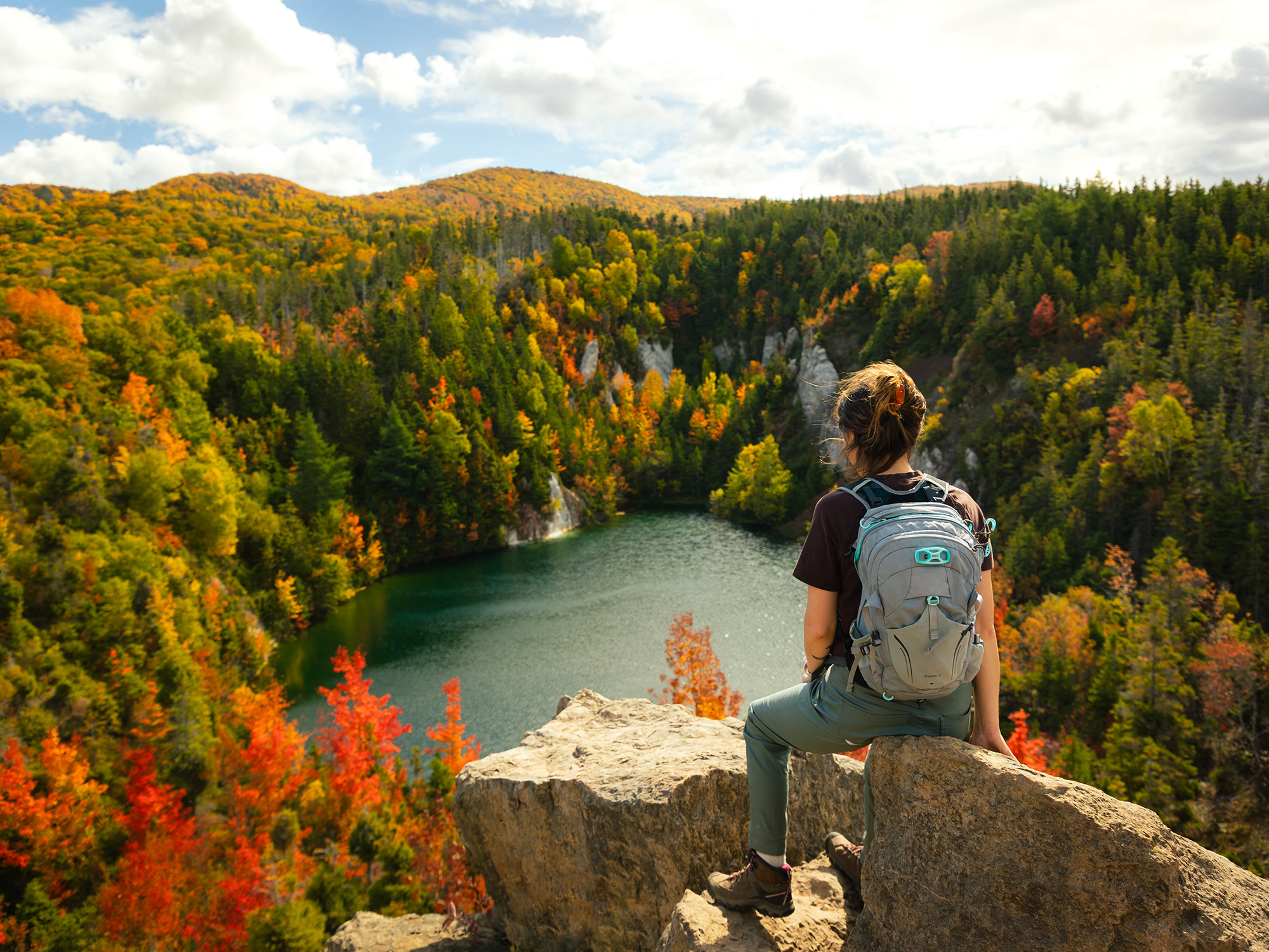
Climb 365 metres above the Chéticamp River for panoramic views of the Acadian coastline, the Chéticamp river valley and the park’s highland interior. Benches along the way let you rest periodically and enjoy the scenery. Watch how the forest changes as you climb steadily to the top and be on the look-out for black bear and moose.
Trailhead: Opposite the Chéticamp Visitor Centre.
Significant Feature: Ocean and mountain scenery
Length: 8.4 km (5.2 mi) loop
Hiking Time: 3–4 hours
Elevation: 20–365 m (65–1200 ft.)
Steep inclines. Rugged sections. Stream crossings.
Trail Rating: Moderate
GPS Co-ordinates for Trailhead (in decimal degrees):
Lat: 46.646863 Long: -60.950197 or
Lat: 46.645107 Long: -60.947226
Park is open year-round but full visitor services are only available from mid-May until mid-October. A park pass is required all year for hiking or use of other services in the park; park entry fee applies. Check in at the Parks Canada visitor centres in Chéticamp (16 Visitor Centre Rd, situated on the west side of the park) or in Ingonish (37637 Cabot Trail, on the east side of the park) to obtain passes, information on visitor safety and any other information you may need, including a trail location map.
For your comfort and safety:
Time 10:00am - 2:00pm
Looking for a bite to eat or something else to do during your visit? Check out these popular nearby activities and attractions!

From April 1 to November 15

Open year-round
Open year-round
Open year-round
Open year-round

Open year-round

Open year-round

Open year-round

Open year-round

Open year-round

Tag your travel photos to be featured.
