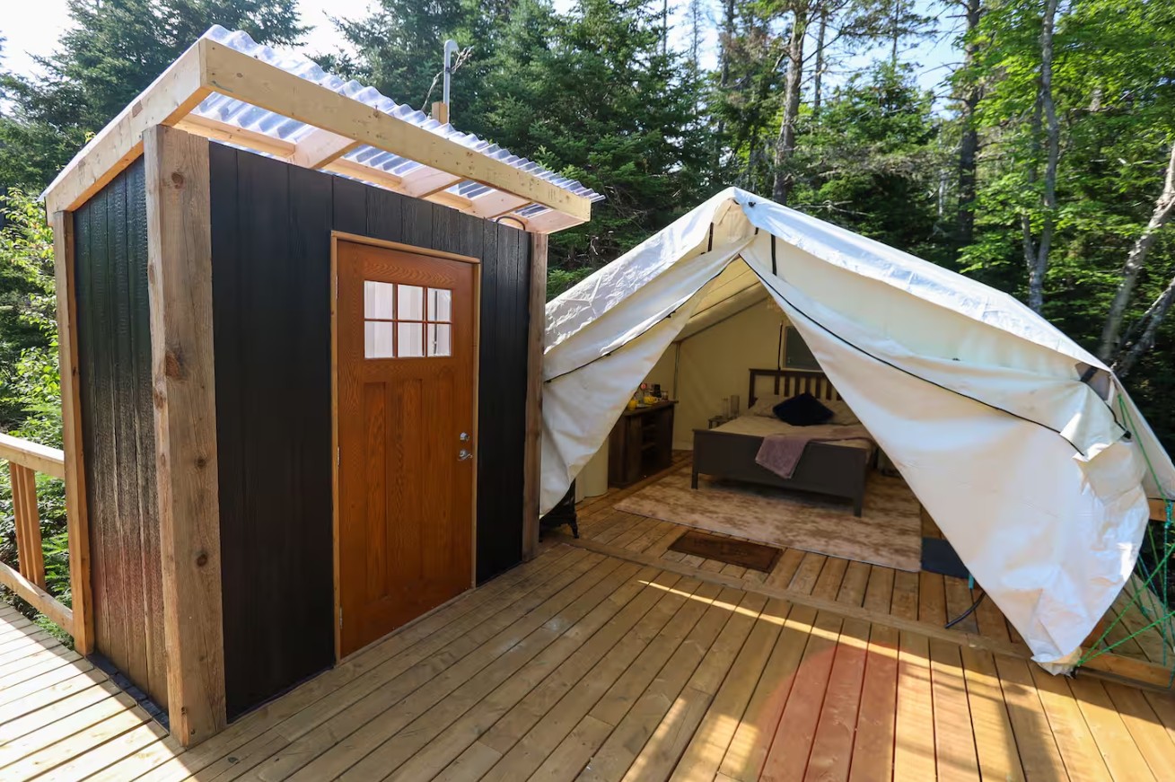
Koko Bay Glamping
From June 1 to September 30
South Shore, Ingramport

Explore the heights of East River for panoramic views of the coast when you venture out on Castle Rock Trail. From the parking lot near the junction of Highways 3 and 329 in East River, it’s an easy stroll or ride (3.2 km) along the Chester Connection Trail (part of the Rum Runners Trail) to the Castle Rock trailhead at the northern end of Labrador Lake.
The trail is accessible year-round and is primarily used for hiking, mountain biking, and snowshoeing. Dogs are welcome but must be kept on leash.
Photo taken by Shane Nauss
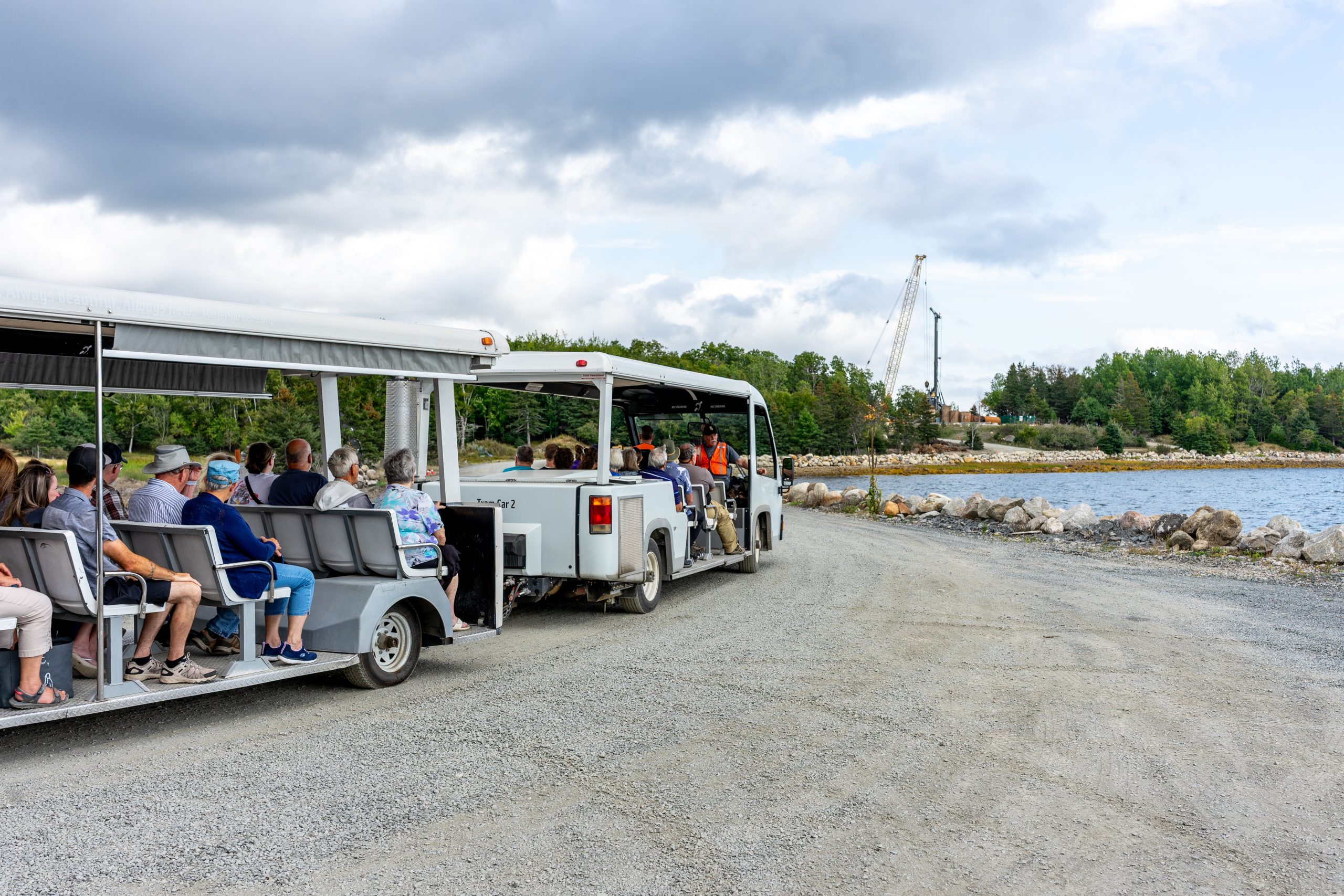
Looking for a bite to eat or something else to do during your visit? Check out these popular nearby activities and attractions!
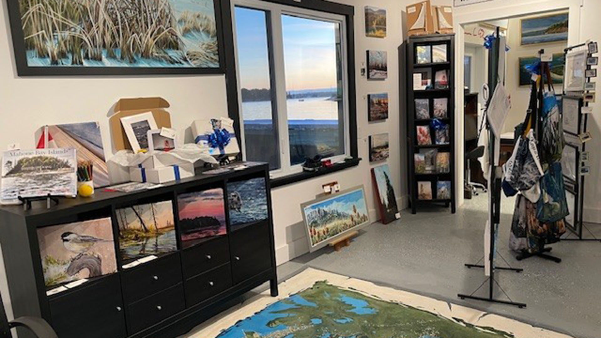
From June 1 to September 30
Open year-round
Open year-round
From April 1 to September 30
Open year-round

From June 29 to August 30
From May 2 to October 31

Open year-round

From May 17 to October 14

Tag your travel photos to be featured.
